


All Day Epic In The Hutt
By Michael Jacques
Mountain biking in the Capital has been “a thing” since the early 1980s when “all terrain bikes” and “mountain cycles” first turned up down under. But while places and races like Makara Peak and the Karapoti Classic eventually became legend, some of the best riding back then was found on the ridges and creek valleys around Lower Hutt.
Three decades later, every part of wider Wellington has dedicated mountain bike trails. But Lower Hutt still ranks among the best.
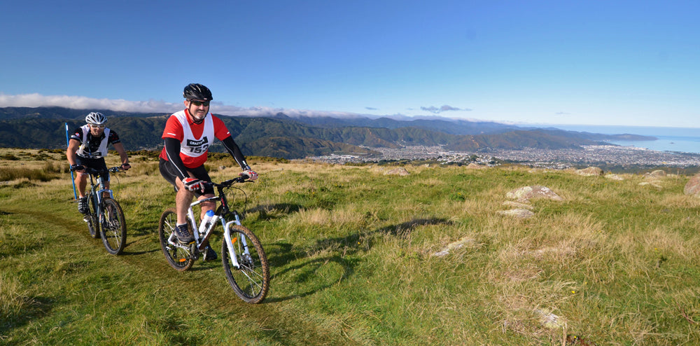
Stretching 20km north from Petone Foreshore through Lower Hutt and Upper Hutt to the foot of the Rimutaka Ranges, the Hutt Valley is surrounded by great riding. You can meander north up the flat and well-kept Hutt River Trail, or head west into Belmont Regional Park, or to the opposite side of the valley on the Eastern Hutt Hills and Wainuiomata Trail Park, or south down around the Pencarrow lakes and lighthouse.

You can tackle them one at a time, or endurance-junkies might tackle an epic all-day affair that uses less than 5k of road to get a mix of ol’school ridge riding and modern mountain bike parks.
Korokoro Stream
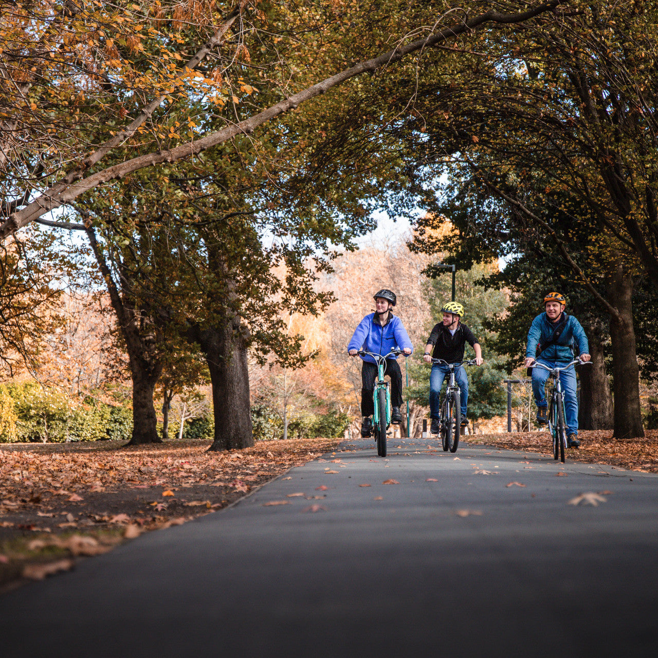
Let’s assume you’re up for the all-day affair. We’ll start at Petone Wharf, because why wouldn’t you. It’s only 10k from downtown Wellington City, there’s free parking and a full-time coffee cart.
Kick off headed west on the beachfront trails (watching for dog walkers) for 1.5k then follow the bike path to Petone Railway Station, nip through the under-pass & an overbridge and you’re in Cornish Street at the Korokoro Stream entrance to Belmont Regional Park.
Rising to 500m, Belmont Regional Park is essentially the range that splits Wellington Harbour and Porirua Harbour. Prior to Europeans the start of the track was a beach front complete with Maori pa, while the stream itself was used as a route inland toward Porirua Harbour.
Our ride starts on the same route, although nowadays it’s a purpose-built single-track surrounded by regenerated bush. In recent years a couple of flash floods have kept the Greater Wellington Regional Council busy, but they’re mountain bike supporters and the trails are constantly re-established and bridges rebuilt.
The riding is mostly flat, with the only worry being other trail users. After 4k you’ll find a left-hand option that heads uphill. At this stage you can continue straight ahead to Korokoro Dam and back for a nice half hour stint. Or turn left on to the Bake Bean track up to the 458m high Belmont Trig.
Belmont Trig
Make sure you can grab your granny ring for this ride because Belmont Trig is the first of three big climbs. The track follows the ridge line straight to the top, so it’s a tough 20-30min of non-stop climbing. But the trail was upgraded recently and the 360-degree views at the top are worth the sweat.
From Belmont Trig there are more choices. You can veer left and stay on the ridge top following farm trails north past Round Knob into the heart of Belmont Park (farmland is closed for lambing between Aug and Oct). Or veer right to head the same way, but with more single track along the way.
BAMBA
Veering right takes you downhill on a four-wheel drive track for 4k to Stratton Street and the historic Woolshed. This was one of the regions first farm holdings, but today it is an event base and entry to some great dedicated single track thanks to the busy Belmont Area Mountain Bike Association (BAMBA).
This area, just a 10min drive from Petone Wharf, had been a single-track haven amongst pine forest for two decades and is worth a visit all by itself. But it was all felled five years ago and BAMBA was formed by the regional council and keen locals to re-establish the trail network. The result is first rate, with about 15k of trails thus far making it worth a visit all by itself.
Today we’re heading 25min uphill on a gentle bush-clad single track aptly dubbed “4-Degrees”. At the top the track breaks out of the bush line and you can see the vast potential for more trails all around. If you’re calling it a day head back down “Borderline” (upper intermediate level) or the slightly kinder “Weta”. Or stay with us, crossing the four-wheel drive track into an intermediate level single track downhill called Bull Run.
Bull Run charges for almost 2k down a bush-clad creek gully with a few small drops, steps & tight corners along the way. In the winter wet it deserves care. It breaks out into farm land at the bottom and onto Hill Road, which is a gravel road that you follow on a gradual uphill for 3k past a couple of farm houses to a four-way intersection.
Take the middle option into Belmont Road, which is another historic route. This was the first European stock route down to the Porirua region, and was also a major World War II ammunition site. As you ride east toward Boulder Hill you’ll pass dozens of the concrete structures built in hollows and camouflaged with a grass roof.
Remembering the golden rule of leaving farm gates as you found them, follow Belmont Road for 3k to a sign on your right pointing you due east to Boulder Hill. Jump the stile and follow a farm track downhill for 500m, and then you start another slog for 15min to the top of Boulder Hill.
Boulder Hill
At 442m, Boulder Hill is almost as high as Belmont Trig. But you start the climb at about 250m so it’s the easiest of the day. The toughest part is the last two minutes bobbing and weaving amid, you guessed it, a collection of rocks and boulders that just appear out of nowhere. Actually they’re the outer remains of Lake Taupo’s last big volcanic eruption 1800 years ago, which was the most violent eruption in the world during the last 5000 years.
On a good day Boulder Hill is another magic place with 360-degrees views south to Wellington Harbour, west to Porirua Harbour, north to the Akatarawa and Rimutaka Ranges and east across the Hutt Valley to the eastern skyline, which is where we’re headed next. But only after a big smiles 5k descent on four-wheel drive tracks down to the Hutt River Trail.
Hutt River Trail
Thus far you’ve ridden some 35k. If you’ve done your dash you can take a final 13k south straight down the Hutt River Trail, through Shandon Golf Course and along Petone Foreshore back to the wharf. That’s a useful 48k ride that finishes a nice gradual downhill beside the river. But if you want an epic ride then head east back into the hills.
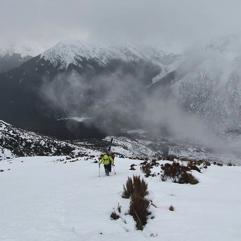
Out East
Ride south on the Hutt River Trail for 4k to Kennedy Good Bridge. Cross the bridge to the eastern side of the river and head north for 3k to Stokes Valley. Take Manor Drive and Kingsley Street uphill for 2k to a four-wheel drive pylon access track. This climbs for about 3k, then just before the trail ends it turns hard left into a short single track section that emerges in a clearing and another Pylon access track. Follow this south now, climbing for about 1k onto the eastern Hutt hills skyline.
Once on the tops the track is fast, undulating south for about 10k. There are several intersections, but if you take the right hand options and stay on the ridge you won’t go far wrong. You’ll eventually come to a sign pointing right, downhill into a single track called Te Whiti Riser. This only opened in 2016 and is a nicely graded 4k down to Lower Hutt.
Wainui & Beyond
From the top of Te Whiti Riser you are only about 8k from Petone Wharf and the end of your ride. But you’re also only 1k from Wainuomata’s own dedicated mountain bike park, so why not take a lap?
It’s been a big day, so save the entire 20k of bush-clad single track for another ride. Let’s stay on the ridge line, entering at a track called Freewheel for a fun 3k along to the top of Wainuiomata Hill Road. From here you can return to Te Whiti Riser via “Labyrinth” and “Towai Traverse”, or you could cross the new overbridge and take the direct route down to Petone Foreshore on a cool little single track next to the road… Either way it’s been an epic 60-65k day that started and finished with coffee by the sea. 
Ridge Ride Guide (Nitty Gritty)
Maps & Info: www.trailforks.com/region/lower-hutt/, huttvalleynz.com
Bike Hire & Tours: mudcycles.co.nz